


Территория
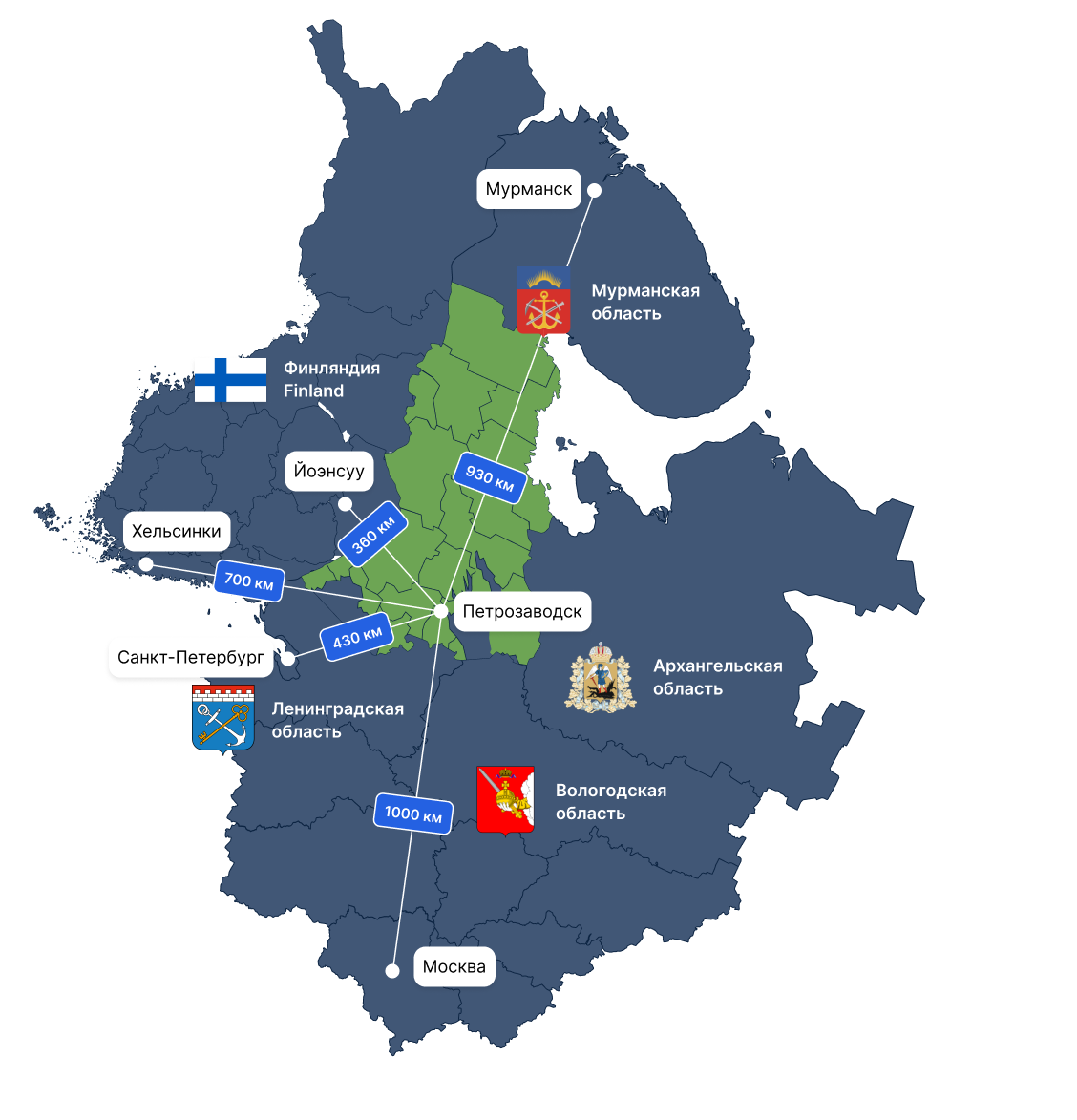
Республика Карелия расположена на северо-западе России, входит в состав Северо-Западного федерального округа Российской Федерации.
Более половины территории Карелии покрыто лесом. Основными породами являются ель и сосна.
Минерально-сырьевая база
152 лицензии Выдано на общераспространенные полезные ископаемые в 2024 году
Полезные ископаемые:
- Железная руда
- Шунгит
- Титан
- Ванадий
- Молибден
- Благородные металлы
- Алмазы
- Строительные материалы (граниты, диабазы, мраморы)
- Керамическое сырье (пегматиты, шпат)
- Апатит-карбонатные руды
- Щелочной амфиболасбест
Биоресурсы
В Карелии ежегодно собирается большое количество брусники, клюквы, черники, морошки и других ягод.
Карелия обладает значительными водными биоресурсами. В Белом море и крупных озерах ведется промышленный лов рыбы.
Основные виды: семга, лосось, форель, навага, сельдь, треска, камбала; активно осваиваются биоресурсы Белого моря — мидии.
Республика Карелия является одним из самых благоприятных субъектов Российской Федерации для промышленного выращивания товарной форели.
Транспортная инфраструктура
- МАПП Вяртсиля,
- МАПП Люття,
- МАПП Суоперя,
- ПУП Инари,
- ПУП Сювяоро.
- Люття,
- Вяртсиля.
- Р-21 «Кола»
- А-119 «Вологда – Медвежьегорск»
- А-121 «Сортавала»
- А-137 Р-21 «Кола» – Костомукша – госграница
- А-215 «Лодейное Поле – Вытегра – Плесецк – Брин-Наволок, подъезд к г. Петрозаводску» В рамках национального проекта «Инфраструктура для жизни» в 2025 году по итогам выполнения работ по ремонту введено в эксплуатацию более 172 км автомобильных дорог регионального значения Республики Карелия, в том числе более 70 км, включенных в Опорную сеть дорог Российской Федерации.
По итогам 2025 года доля автомобильных дорог регионального значения Республики Карелия, соответствующих нормативным требованиям, составила 53,2 %.
Беломорско-Балтийский канал, соединяющий Белое море с Онежским озером и имеющий выход в Балтийское море и к Волго-Балтийскому водному пути.
Топливно-энергетический комплекс
Экономика
Экономика Республики Карелия основывается на переработке местных видов природных ресурсов, использовании туристско-рекреационного потенциала и выгодного экономико-географического приграничного положения. Эти факторы определяют специализацию и региональные особенности экономики.
Доля компаний Карелии в общероссийском производстве:
 2022 RU.jpg)
